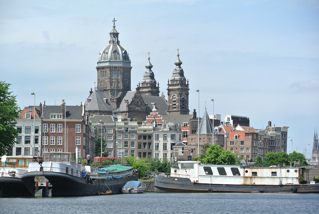
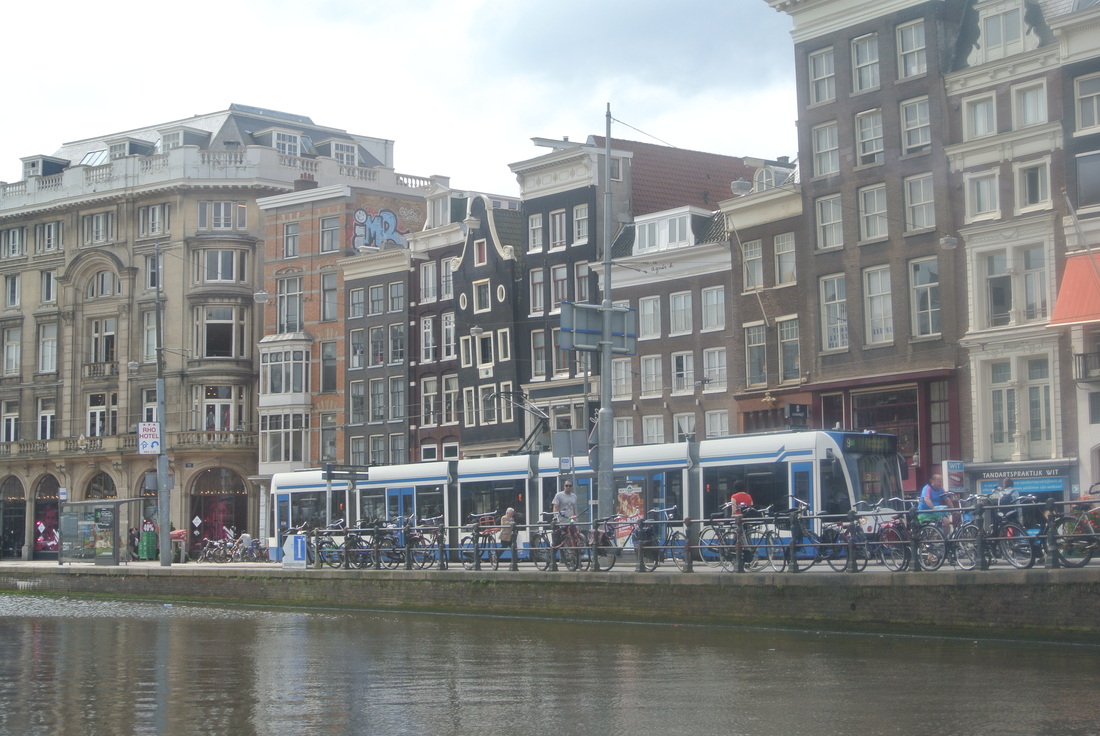
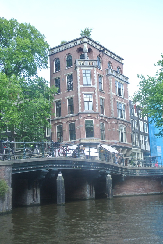
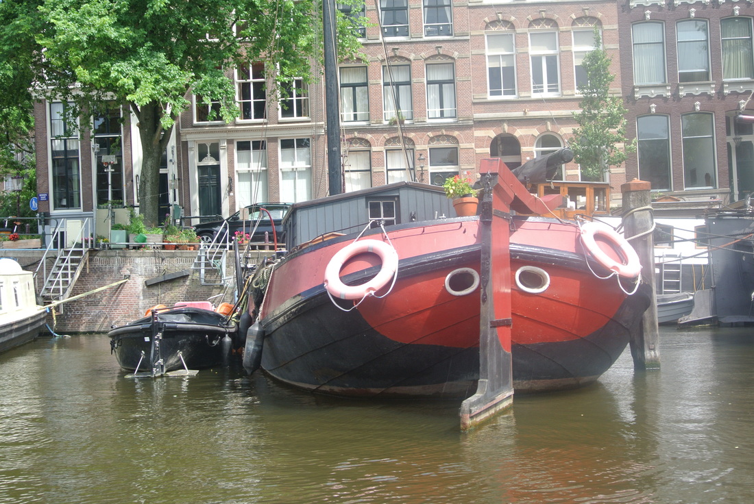
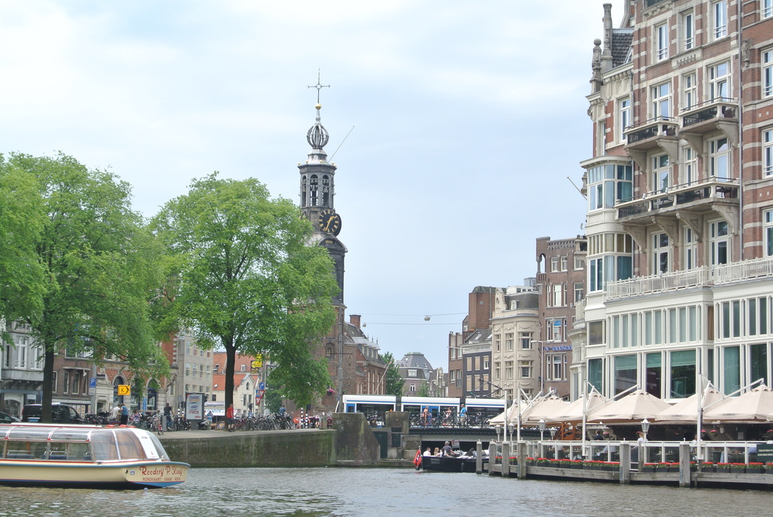
If I were an inwoner van Amsterdam, I would be slightly insulted to be called "the Venice of the North". While beautiful in its own "romantic style" way, I don't think Venice holds a candle to Amsterdam. It may be my straight-forward approach in life, and love of all things northern European, but the canals of Amsterdam are visually and technically amazing, far more practical than those in Venice, and fortunately still a functioning part of the city despite all of the tourists crawling around. Plus, with the narrow car and dedicated bike lanes, it is a vibrant place for multiple modes of transportation which facilitate real commerce and living, and not just tchochke shops.
A few basic facts on the city and semi-circular spider's web of canals:
- The city was founded around 1250 with the building of the Dam that gave it its name. ‘Aeme Stelle Redamme’ is Medieval Dutch for: ‘Dam in a Watery Area’.
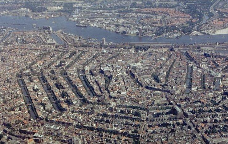
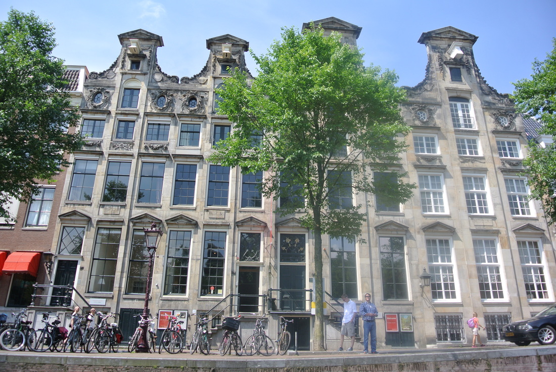
- As a waterfront town, a few of the inlets were natural, however, over 90% of the waterways are man-made built in the 1600 and 1700's according to a concentric city plan popular in post Enlightenment-era Europe. Except with waterways and not streets!
- One of the three main canals is named Amstel (like the beer)
- The three main canals alone (which enabled all of the smaller attached channels) took 50 years to complete
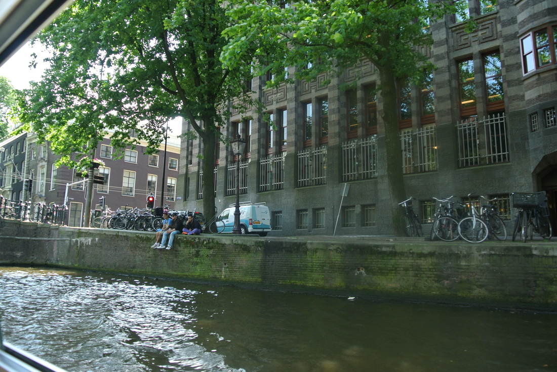
- The first canals were dug for water management and defense. As the city expanded in the Middle Ages, successive defense moats ended up inside the walls and lost their military function. So they acquired an important new one: local transport of merchandise
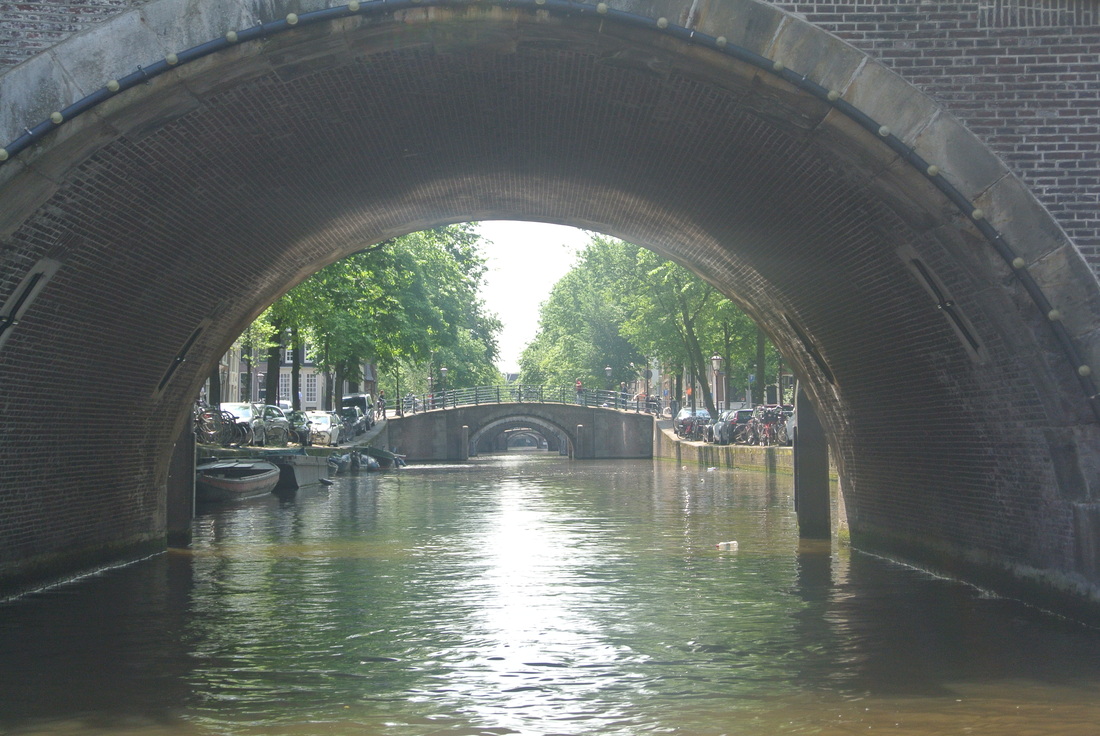
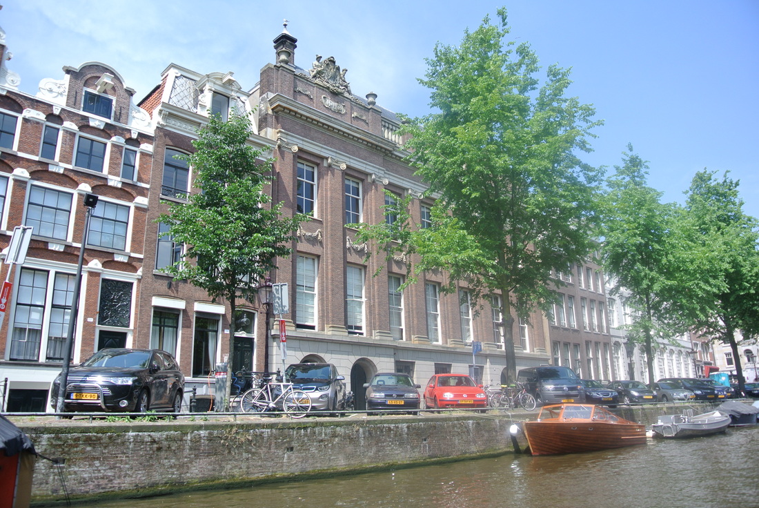
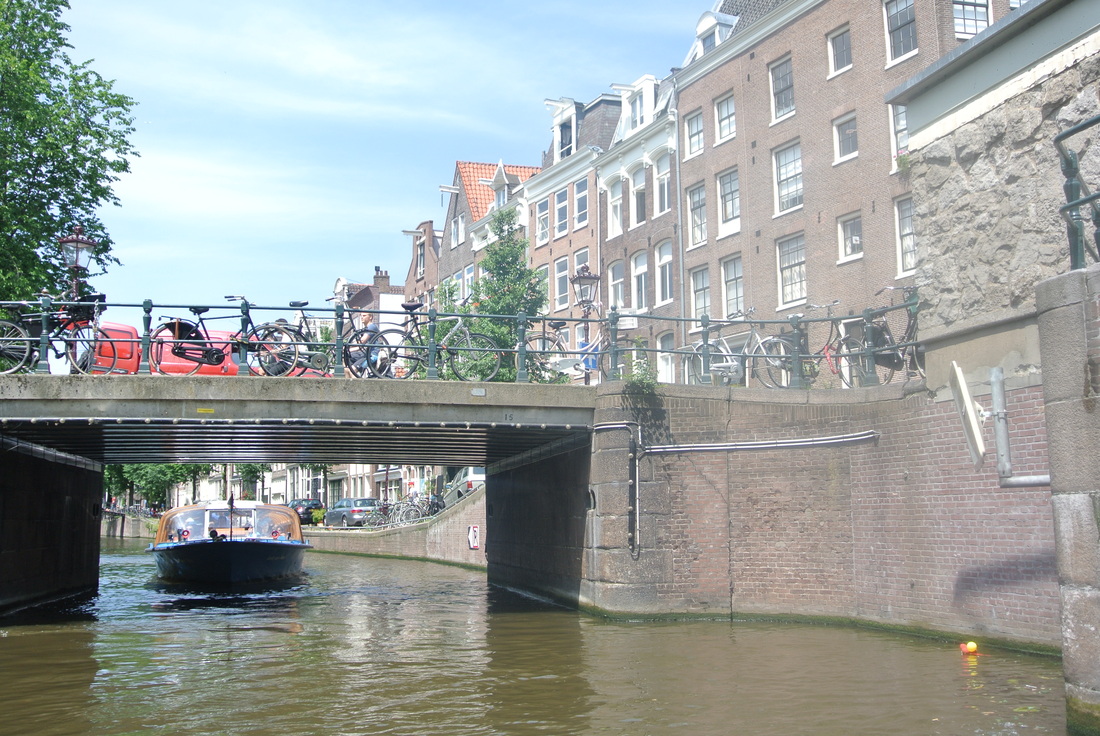
- There are still over 100 Km of actual waterways inside the city limits
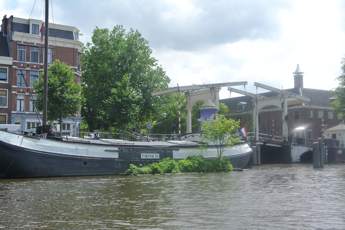
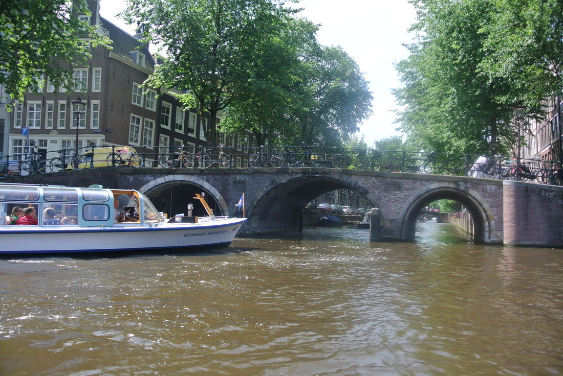
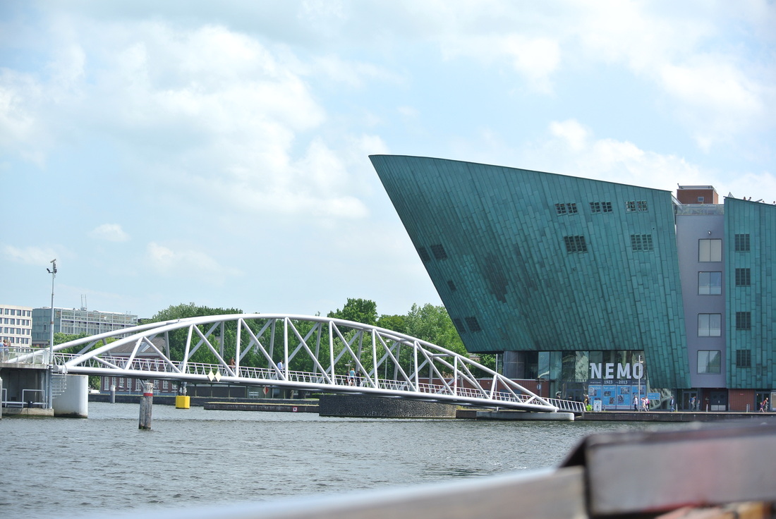
- Crossed by over 1,500 bridges
- Which intersect the land into over 90 islands
- Srprisingly, more than half of the original water in Amsterdam was lost to landfills to make more roads and parking for cars in the 1900's, but a full 25-percent of the city's surface still consists of navigable waterways. With 65 miles of ancient canals, Amsterdam is still the "most watery city in the world". Funny title.
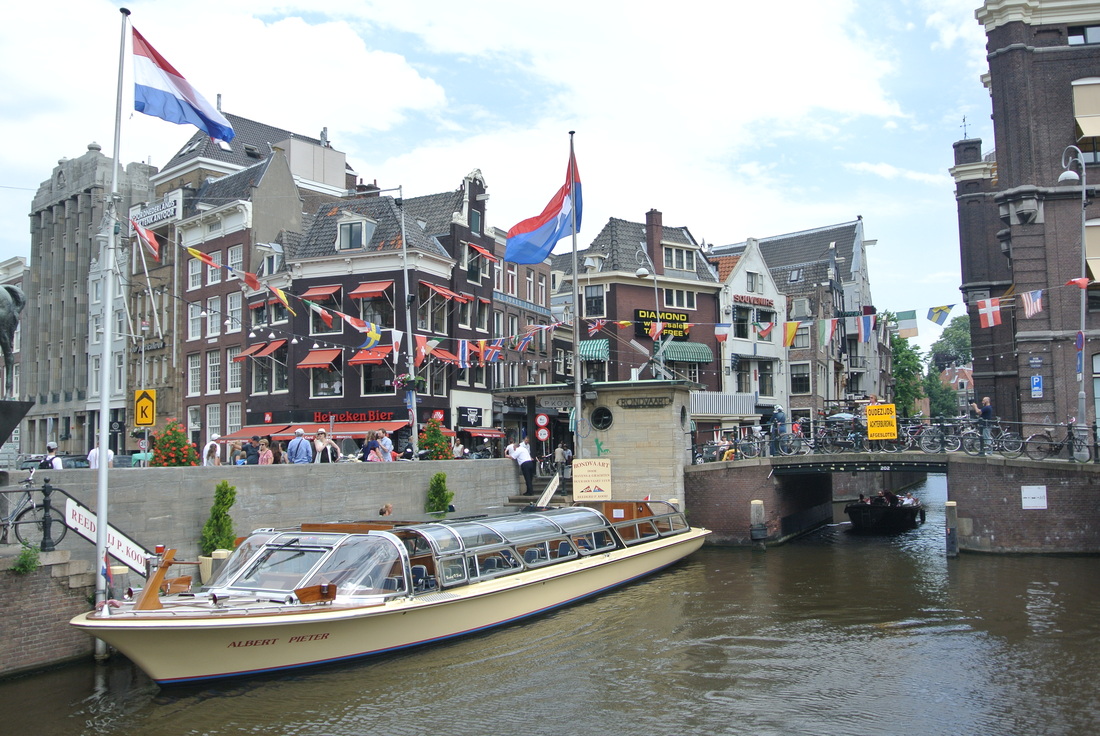
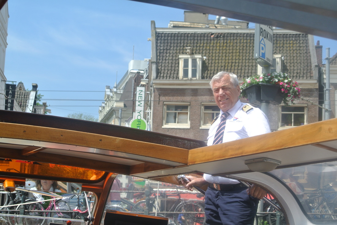
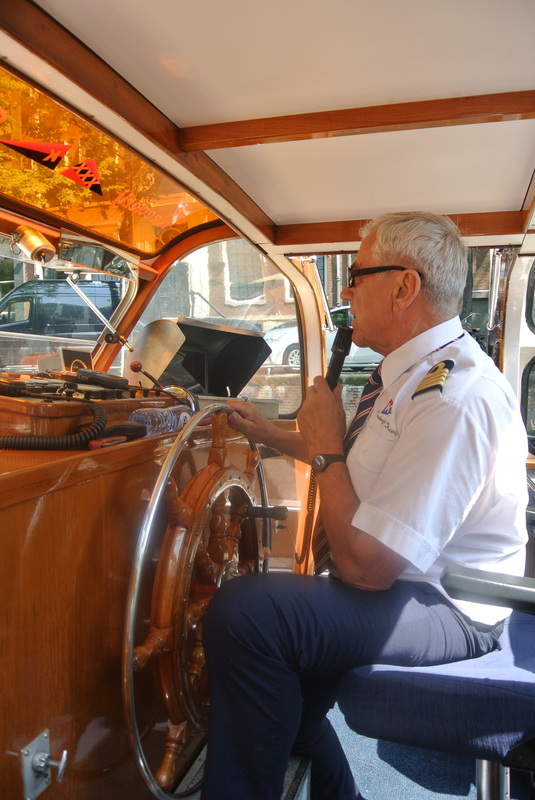
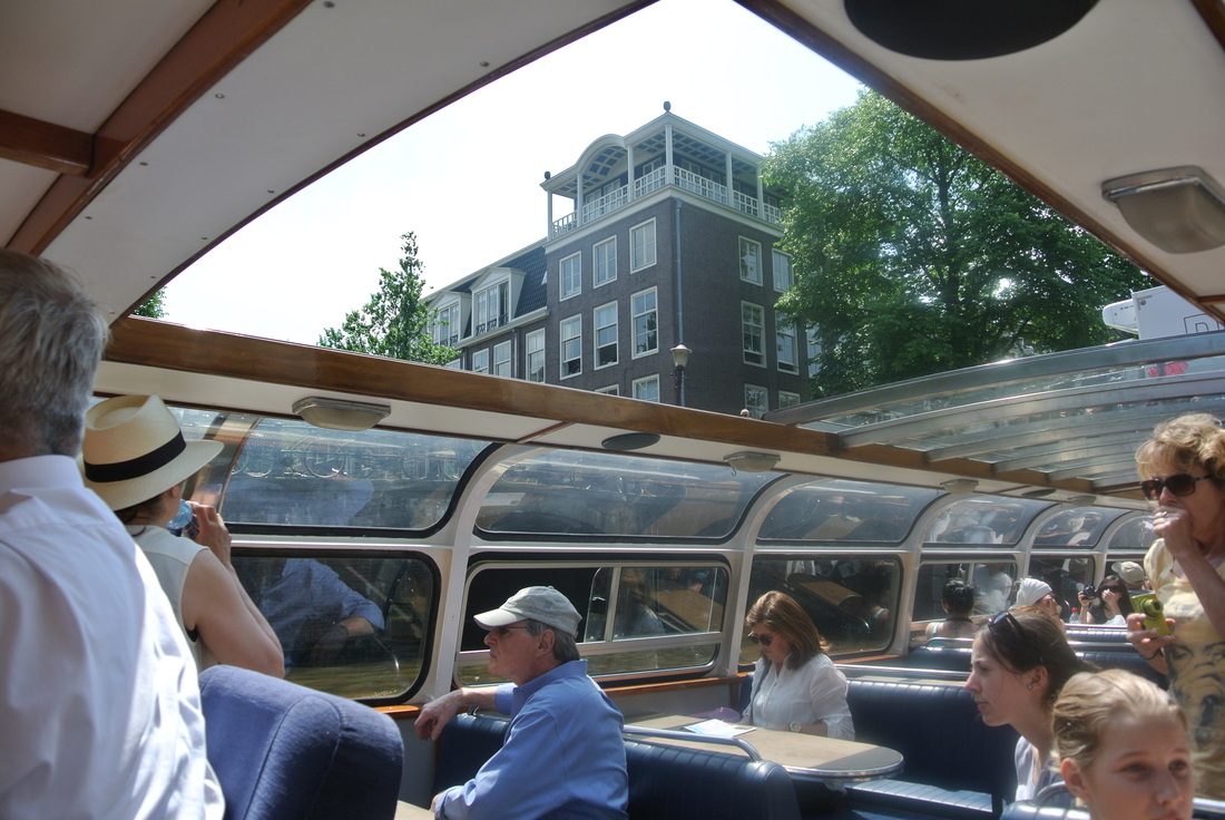
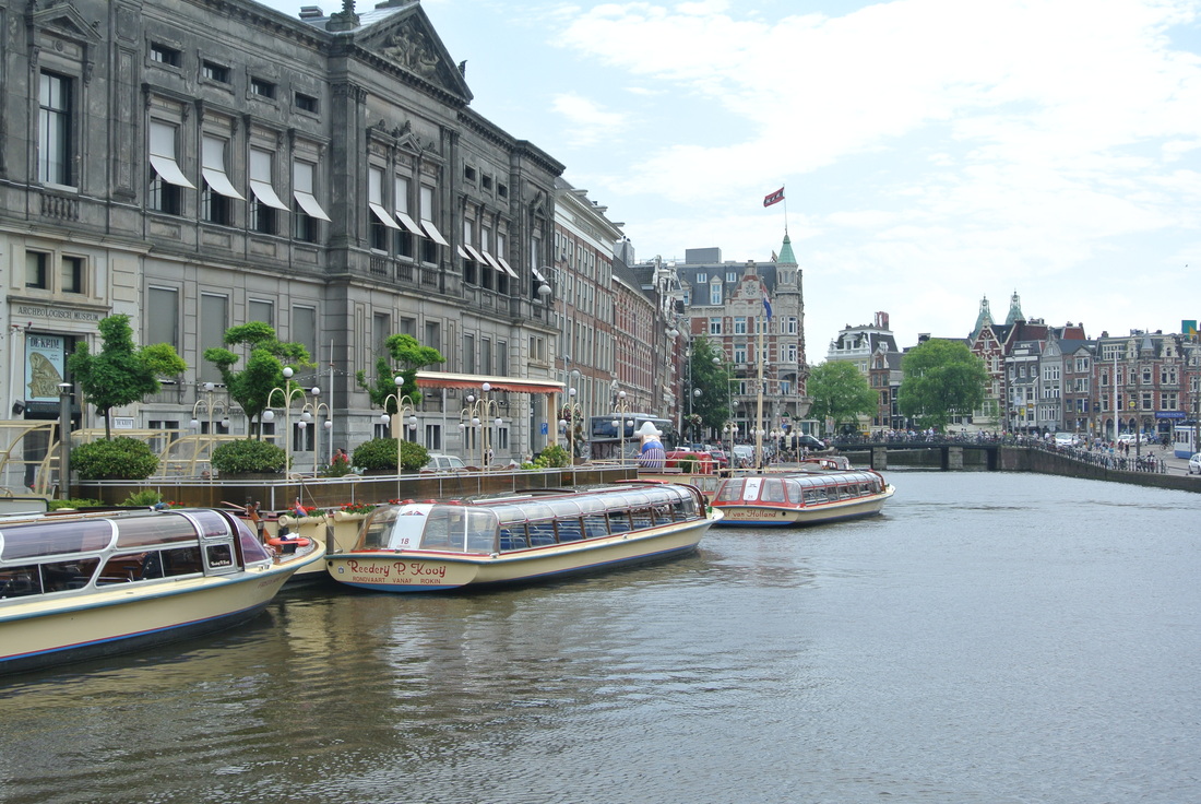
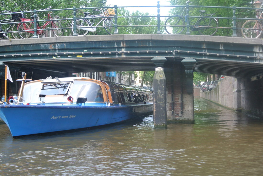
The kids had a good time on the canal cruise because they got to sit in a boat and not walk around for the morning! I think they even absorbed some facts (like the amount of cars and bikes that fall in every year - see below). :)
- Mike
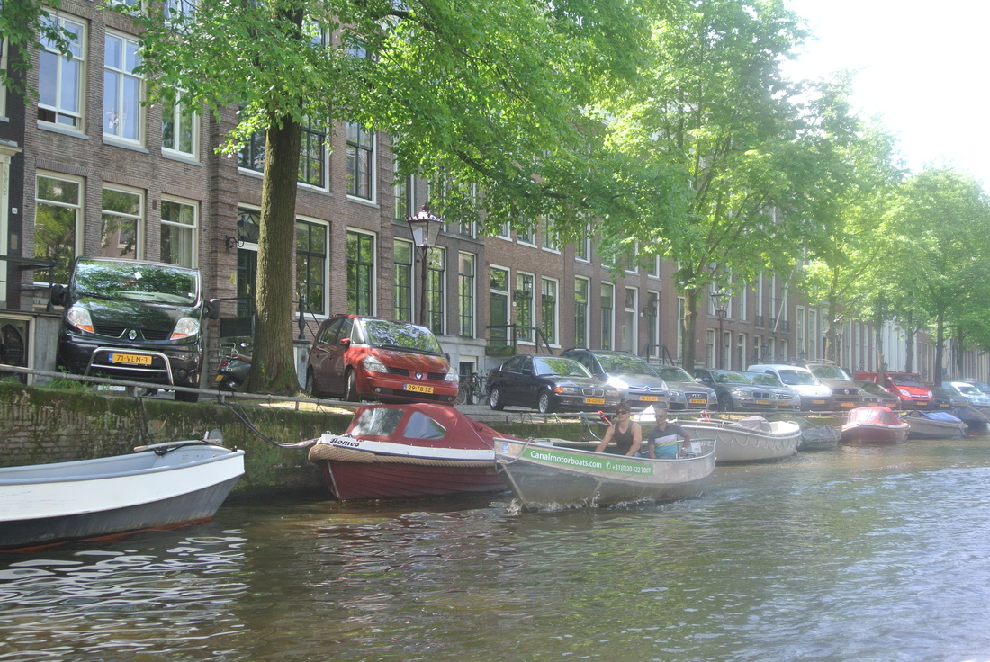
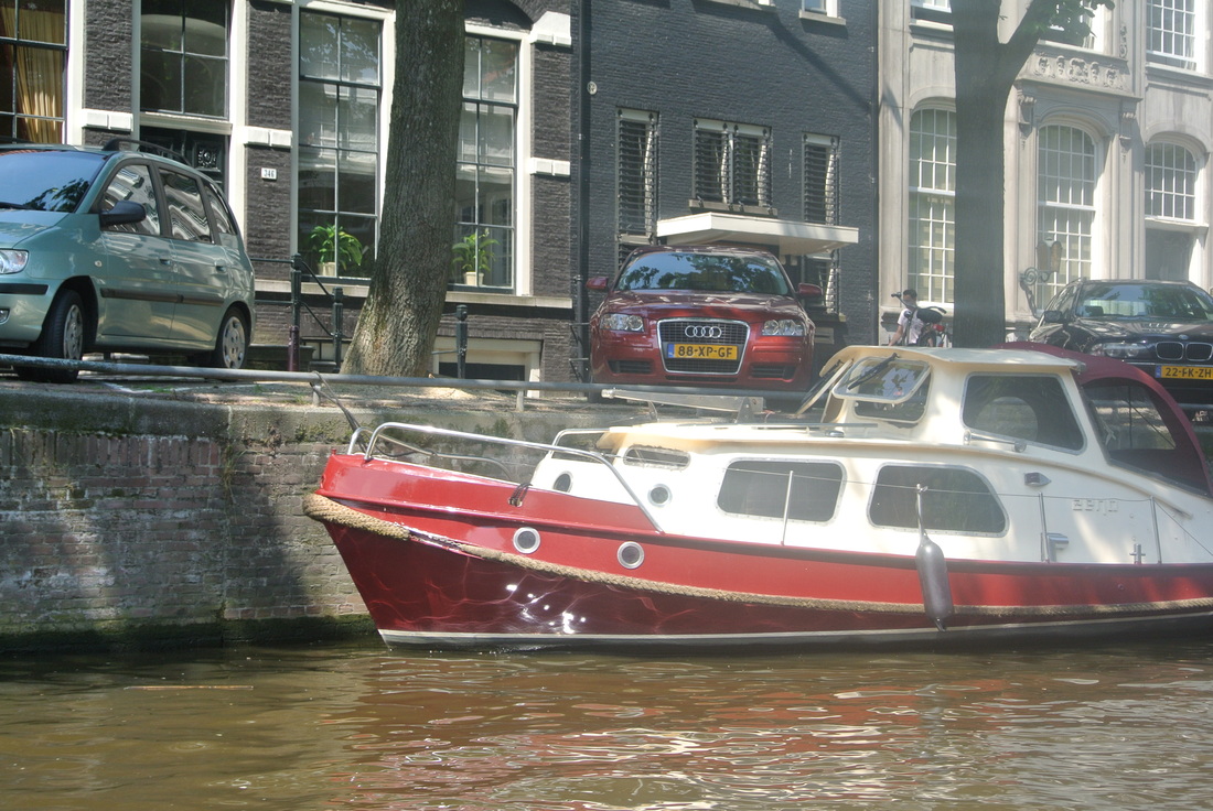
P.S. Two other interesting trivia points we learned today while on our canal boat tour: 1. About one car per week accidentally drives into one of the canals, and 2. Every year almost 10,000 bikes are drudged out. While that make sound like a great number, it s estimated that there are over 800,000 bikes in the city (more than actual residents), so maybe a little over 1% is actually low considering all of the beer and legal pot up here?!? .
A few basic facts on the city and semi-circular spider's web of canals:
- The city was founded around 1250 with the building of the Dam that gave it its name. ‘Aeme Stelle Redamme’ is Medieval Dutch for: ‘Dam in a Watery Area’.
- As a waterfront town, a few of the inlets were natural, however, over 90% of the waterways are man-made built in the 1600 and 1700's according to a concentric city plan popular in post Enlightenment-era Europe. Except with waterways and not streets!
- One of the three main canals is named Amstel (like the beer)
- The three main canals alone (which enabled all of the smaller attached channels) took 50 years to complete
- The first canals were dug for water management and defense. As the city expanded in the Middle Ages, successive defense moats ended up inside the walls and lost their military function. So they acquired an important new one: local transport of merchandise
- There are still over 100 Km of actual waterways inside the city limits
- Crossed by over 1,500 bridges
- Which intersect the land into over 90 islands
- Srprisingly, more than half of the original water in Amsterdam was lost to landfills to make more roads and parking for cars in the 1900's, but a full 25-percent of the city's surface still consists of navigable waterways. With 65 miles of ancient canals, Amsterdam is still the "most watery city in the world". Funny title.
The kids had a good time on the canal cruise because they got to sit in a boat and not walk around for the morning! I think they even absorbed some facts (like the amount of cars and bikes that fall in every year - see below). :)
- Mike
P.S. Two other interesting trivia points we learned today while on our canal boat tour: 1. About one car per week accidentally drives into one of the canals, and 2. Every year almost 10,000 bikes are drudged out. While that make sound like a great number, it s estimated that there are over 800,000 bikes in the city (more than actual residents), so maybe a little over 1% is actually low considering all of the beer and legal pot up here?!? .


 RSS Feed
